
Fail:Map of Kentucky highlighting Casey County.svg

Selle SVG-faili PNG-vormingus eelvaate suurus: 799 × 344 pikslit. Teised eraldusvõimed: 320 × 138 pikslit | 640 × 276 pikslit | 1024 × 441 pikslit | 1280 × 551 pikslit | 2560 × 1102 pikslit | 2708 × 1166 pikslit.
Algfail (SVG-fail, algsuurus 2708 × 1166 pikslit, faili suurus: 112 KB)
| See fail ja sellest kastist allapoole jääv kirjeldus pärinevad kesksest failivaramust Wikimedia Commons. | Faili lehekülg Commonsis |
Lühikirjeldus
| Kirjeldus |
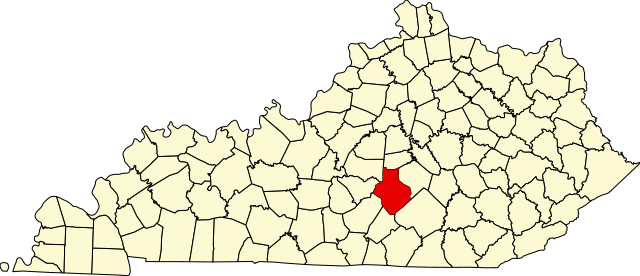
English: This is a locator map showing Casey County in Kentucky. For more information, see Commons:United States county locator maps. |
| Kuupäev | |
| Allikas |
Üleslaadija oma töö: English: The maps use data from nationalatlas.gov, specifically countyp020.tar.gz on the Raw Data Download page. The maps also use state outline data from statesp020.tar.gz. The Florida maps use hydrogm020.tar.gz to display Lake Okeechobee. |
| Autor | David Benbennick |
Litsents
| Selle teose autoriõiguste valdajana annan selle teose avalikku omandisse. See kehtib üleilmselt. Kui see pole mõnes riigis õiguslikult võimalik: Annan kõigile õiguse seda teost kasutada ükskõik mille jaoks, ilma ühegi tingimuseta, kui seadus neid just ei sea. |
Faili ajalugu
Klõpsa kuupäeva ja kellaaega, et näha sel ajahetkel kasutusel olnud failiversiooni.
| Kuupäev/kellaaeg | Pisipilt | Mõõtmed | Kasutaja | Kommentaar | |
|---|---|---|---|---|---|
| viimane | 25. juuni 2024, kell 06:06 | | 2708 × 1166 (112 KB) | Nux | fix rendering (remove clipping) |
| 12. veebruar 2006, kell 14:21 |  | 6770 × 2916 (127 KB) | David Benbennick | {{subst:User:Dbenbenn/clm|county=Casey County|state=Kentucky}} |
Faili kasutus
Seda faili kasutab järgmine lehekülg:
Globaalne failikasutus
Järgmised muud vikid kasutavad seda faili:
- Faili kasutus vikis ar.wikipedia.org
- Faili kasutus vikis bg.wikipedia.org
- Faili kasutus vikis bpy.wikipedia.org
- Faili kasutus vikis cdo.wikipedia.org
- Faili kasutus vikis ceb.wikipedia.org
- Faili kasutus vikis ce.wikipedia.org
- Faili kasutus vikis cs.wikipedia.org
- Faili kasutus vikis cy.wikipedia.org
- Faili kasutus vikis de.wikipedia.org
- Faili kasutus vikis el.wikipedia.org
- Faili kasutus vikis en.wikipedia.org
- Casey County, Kentucky
- Liberty, Kentucky
- Green River Knob
- Dunnville, Kentucky
- Teddy, Kentucky
- Phil, Kentucky
- Yosemite, Kentucky
- Walltown, Kentucky
- Kidds Store, Kentucky
- Middleburg, Kentucky
- Bethelridge, Kentucky
- Mintonville, Kentucky
- Windsor, Kentucky
- List of counties in Kentucky
- Template:Casey County, Kentucky
- User:Nyttend/County templates/KY/1
- Carpenter's Station, Kentucky
- National Register of Historic Places listings in Casey County, Kentucky
- Category:Populated places in Casey County, Kentucky
- Clementsville, Kentucky
- Duncan, Casey County, Kentucky
- Ed, Kentucky
- Bass, Casey County, Kentucky
- Argyle, Kentucky
- Peytons Store, Kentucky
- Jacktown, Kentucky
- Knob Lick, Casey County, Kentucky
- Ferndale, Kentucky
- Ware, Kentucky
- Labascus, Kentucky
- Atterson, Kentucky
- Butchertown, Casey County, Kentucky
- Cantown, Casey County, Kentucky
- Gilpin, Kentucky
- Honey Acre, Kentucky
- Template:CaseyCountyKY-geo-stub
- Rheber, Kentucky
- Creston, Kentucky
Vaata selle faili globaalset kasutust.